Tuesday, August 27, 2013

Kitimat, B.C. 08.20.2013

This morning we called John, M/V Seacrest, who we met in Weehanie Hot Springs and asked him if he was still willing to help us transport our bent forestay pole to Zanron Fabrication.  He said he would meet us at the marina at 9:00am.


We were able to pick up the straightened pole around 2:30pm.  We rented the last rental car available in Kitimat from Rent-A-Dent.  It was a SMALL Pontiac (beater) & picked up the 16’ forestay pole.  OMG! LOL!


More volunteers from the marina helped us get the stabilizer pole & forestay pole back on the boat. Yeah!


Tonight we had breaded halibut for dinner.  Yumm!

We’ve been invited to join M/V Sea Chalet to go fishing – so we’ll be off line for another week-ish.


Will update the blog again soon.

Wednesday, August 21, 2013

Kitimat, B.C. 08.19.2013

Left for north on Devastation Channel to Kitimat today so that we would arrive in the harbor in time to contact a couple of fabrication machine shops to see about straightening our port forestay pole.

It was fortunate that the first shop Bruce called may be able to do the job – all we have to do is bring the forestay pole to their shop.

The weather was a bit ruff, wet, and windy in our travels today and when we arrived at MK Marina there was no room inside the marina so we are tied up on the outside wall in the slop!  This should be fun – NOT!


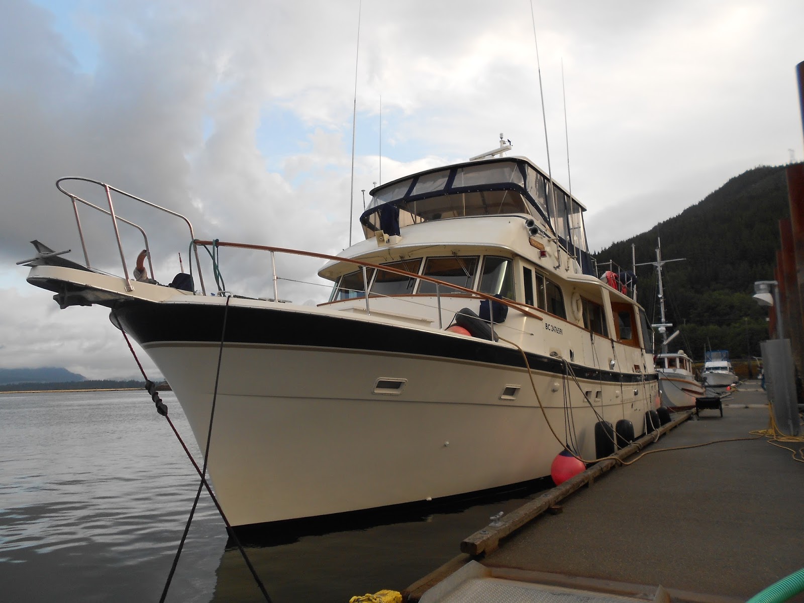
We continue to meet really nice people while on our journey and today was different.  Tied off in front of us on the outside wall was a 78’ Hatteress charter boat called Sea Chalet.  Dr. Bob and his wife Reinette live on their vessel.  He is a retired naturopath and she is a physician in Vancouver B.C.  Very nice couple and what a nice boat.


Ok, let’s talk about the forestay repair. 

When we were leaving Prince Rupert we decided to top off our fuel tanks.  When we were heading into the fuel dock, the wind picked up and caught the pilot house & at the same time, there was a current running under the boat.  We realized we would not make a smooth landing at the fuel dock so we backed away. 

Well, we got caught in the current and ran alongside the pilings that hold the platform where the fuel dock office is located. 

They have a crane that lowers down oil and other supplies in a cage to an oil changing station located at the end of the fuel dock which the commercial boats use to change their oil.  What we forgot to take into consideration is the dock above has a beam that comes out past the pilings below. 

You guessed it – we hit that beam with our port stabilizer pole which then bent the forestay pole. Opps! 


So once we got to the dock we were able to get two guys from other boats to help us drop the stabilizer pole so that Bruce could reach where the forestay pole attaches.  It was quite a job getting this off – lots of rain and wind!


Tomorrow should be an interesting day.

Weewanie Hot Springs 08.18.2013

We originally planned to go up Douglas Channel to the town of Kitimat but the weather is not going to cooperate.  Winds are expected in Douglas Channel which will make traveling north through the Channel very uncomfortable.

Off at 8:00am PT to catch the flood tide north up Verney Passage through Devastation Channel to lovely Weewanie Hot Springs.  After having a couple of days of rain we thought a soak in the hot springs sounded wonderful.

Arriving early afternoon we clipped onto our first buoy of the trip and rowed over to the hot springs.


There was a father, his friend, and two 14 yrs boys (John, Corey, Bernie,& Kyle) from the M/V Seacrest  that were in the process of cleaning the tub so most of the time was spent refilling it rather than soaking in it. 
While the tub was refilling it gave us all time to visit.  The gentlemen were all from Kitimat.  John and Corey both work at the aluminum smelting plant in Kitimat.  They talked about local industry in the area.  The aluminum smelting plant is in the process of being modernized to be more efficient.  There is a methanol plant, lumber & pulp mill and a new liquefied natural gas (L&G) plant being built right now.  The real estate values alone in this small city of 10,000 people has tripled in the last couple of years!

John also talked about the fabrication and metal repair shops located in their industrial area that might be able to fix our port forestay pole (more on this repair later).  This conversation gave us confidence that if we came to town we could get our forestay pole repaired. 

Tomorrow we are off further north heading up Devastation Channel (rather than Douglas Channel) to Kitimat. 

Tonight we will try not to drown. 

Hartley Bay, British Columbia 08.17.2013

With our catch of fresh halibut on board and very little ice in the cooler we felt our best hope was to head into the native village of Hartley Bay. 

After raising the anchor we picked up our prawn trap and za-zam!!  We have prawns!! 


We are seriously going to be eating well the next week. 

Traveling south on Grenville Channel, into Wright Sound.  Continuing through Coghlan Anchorage on the west side of Promise Island.  Then traversing Stewart Narrows, which leads along the north side of Promise Island.  Finishing the days travel 4.2 miles north on Douglas Channel into Hartley Bay.

Hartley Bay is well protected by an L-shaped stone breakwater and has a three fingered float in a dredged basin.  This dock is frequented by the fishing fleet and was full when we arrived.  Fortunately rafting is not only normal but expected at this dock.


So we rafted up to a seiner that didn’t look to be leaving any time soon. 

After getting settled we set off into the village to try and find some ice.

We found that Hartley Bay has no roads, no cars, and no stores!  All walkways/roads are boardwalks.  The people in Hartley Bay get around on the boardwalks by 4 wheel ATVs.  They also just took delivery on a specially ordered van that is really skinny and can drive on the boardwalk!  This van shuttles the elders from their retirement home to the community center, medical clinic and such.  It looks like a toy car driving on the boardwalk! LOL!   

We walked to the village medical clinic thinking that they may have an ice maker and maybe they would sell us some ice but unfortunately not.  The gal made a couple of phone calls (which didn’t take long in a village of 160 people) and came up with “The guy you should see is Wally.  He should be down at the marina”. 

So off we went back to the marina. 

While returning to the boat we met a young man named Bart, from F/V Right Sound.  This fish boat long lines for halibut.  Bart had shaved ice and was willing to share 10 gallons with us.  He saved the day!  (We never did find Wally). 

Otherwise it was a cool and wet day on the BC Coast.

HALIBUT! in Klewnuggit Marine Park, East Inlet, Inner Basin 08.16.2013

The halibut are elusive no more! 

This morning after a nice breakfast we headed to our next anchorage which Bruce was told had halibut.

Klewnuggit Inlet is one of B.C.’s newest Provincial Marine Parks and has several inlets within the marine park.  At the head of East Inlet we dropped the shrimp pot for an overnight soak then set the hook for lunch and to wait 3 hours until the late afternoon slack tide which was scheduled to be between 15:00 and 17:00pm. 

Bruce was sure this window of time would give us some good water and yes it did.  Bruce fished, while I read a book, from the back deck spending most the time in front of Brodie Lake outfall in 230’ of water.


It ended up being a perfect spot for catching a nice 30 lb halibut!!  What a nice fish, lots of meat.  We may have to share some of our halibut as we have so much of it and no freezer!


Once we took care of our halibut and got the meat into our cooler we headed a bit further into East Inlet, Inner Basin to set the anchor in 50’ for the night – the Coast Guard is calling for heavy winds from the SE tonight so we’ve ducked in this spot for protection.


Baker Inlet via Watts Narrows 08.15.2013

A short “hop” south, still on Grenville Channel, we went through Watts Narrows and into tonight’s stay in Baker Inlet. 

Going through Watts Narrows was really something.  Old-growth trees line the shore right to the water.  The channel is very windy and visibility along the channel is very limited so we announced our entrance into the narrows on the VHF radio and sounded our horn to alert other boaters of our position – in case there was an opposing boat.

The narrows are about 200’ wide and at it’s shallowest is 10 fathoms (60’).  It’s best to go through the narrows at slack water and stay in mid-channel throughout passage.


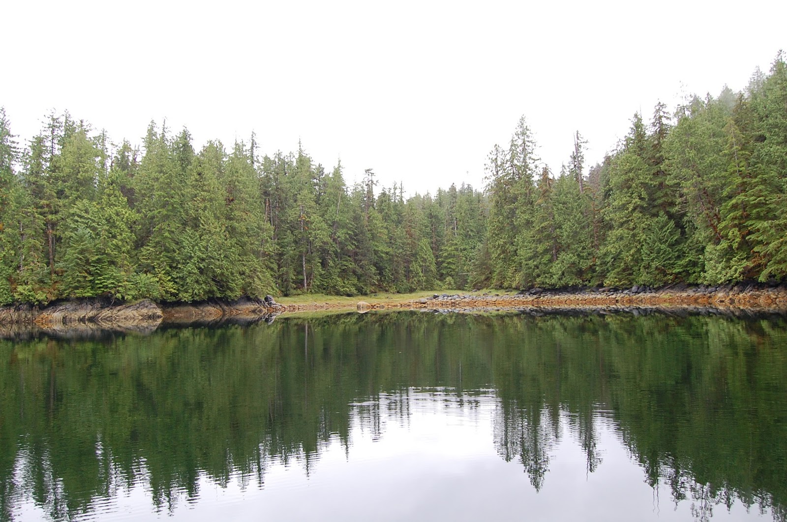
Once through the narrows, you arrive at Baker inlet.  What a beautiful place!  Mostly second-growth trees line the entire inlet with beautiful glacier-scarred slopes.


Anchoring at the head of the bay in 70’ of water (we’re old hats at this now!), we settled in, again being the only vessel here. 


As we had rained off and on (mostly on) it gave us an excuse for a very quite afternoon where we enjoyed baked salmon in the oven for dinner.

Kumealon Inlet 08.14.2013

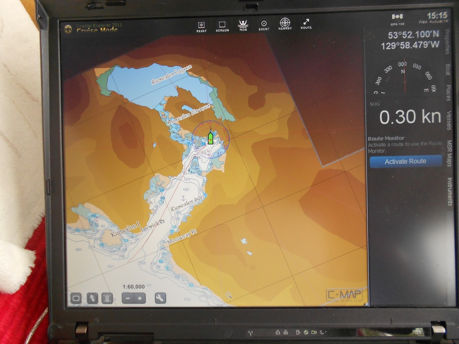
Continuing south we entered Grenville Channel.  The first real inlet on the northeast corner of Grenville Channel is Kumealon Inlet and is a pleasant spot to set the hook. 

 
The inlet is dotted with small islands and islets and has the Kumealon Narrows which leads to Kumealon Lagoon. 

Because of the tides at the time we arrived we choose not to head into the Lagoon but anchored in the Inlet instead. 


Anchoring in 50’ and broke out the shore tie line to hold the boat in place for the satellite service.  This is the first opportunity we have had to use our new shore line.  We used to have 300’ of nylon line to use for shore tieing, now we have upgraded to 600’ of floating yellow line!  The new line is soooo much nicer to handle.